Maps
The icons are linked to full size maps of the Bailey area. They are of various scales and are in either JPEG or PDF format. Some files are quire large so a little patience may be necessary for some to load. In additon to formal maps, there are original plats of the Bailey area.
Click on the icon to display the map. Some of these files may not be suitable of mobile devices.

Bailey Plat Map - 1946

USGS Bailey - 1945
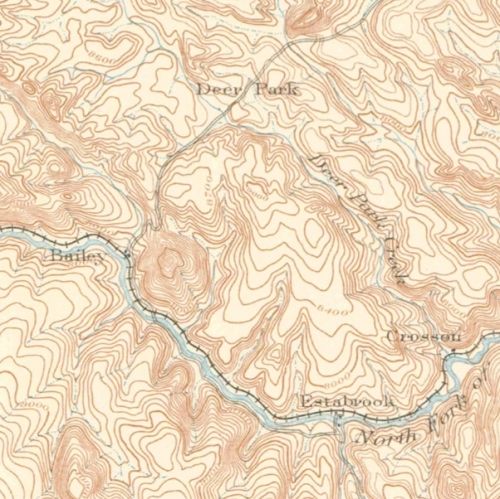
Platte Canyon - 1893

150th Anniversary Map

Bailey Plat Map - 1940

USGS Bailey - 1949

Kenosha Pass 1937-2017
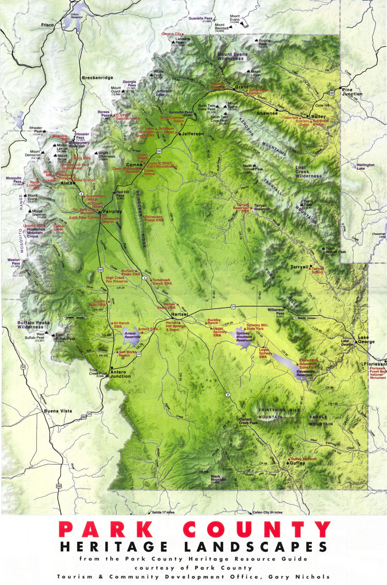
Park County Heritage Map

Barnett Cabin -1940

USGS Bailey - 1987

Crow Hill 1945-1987

South Park - 1875

Plat McGraw Park
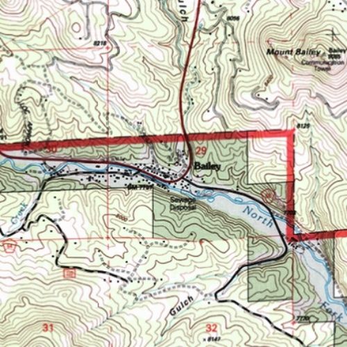
USGS Bailey - 1994
